What changed in India — SCOPE Atlas
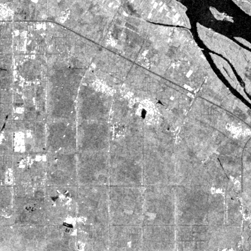
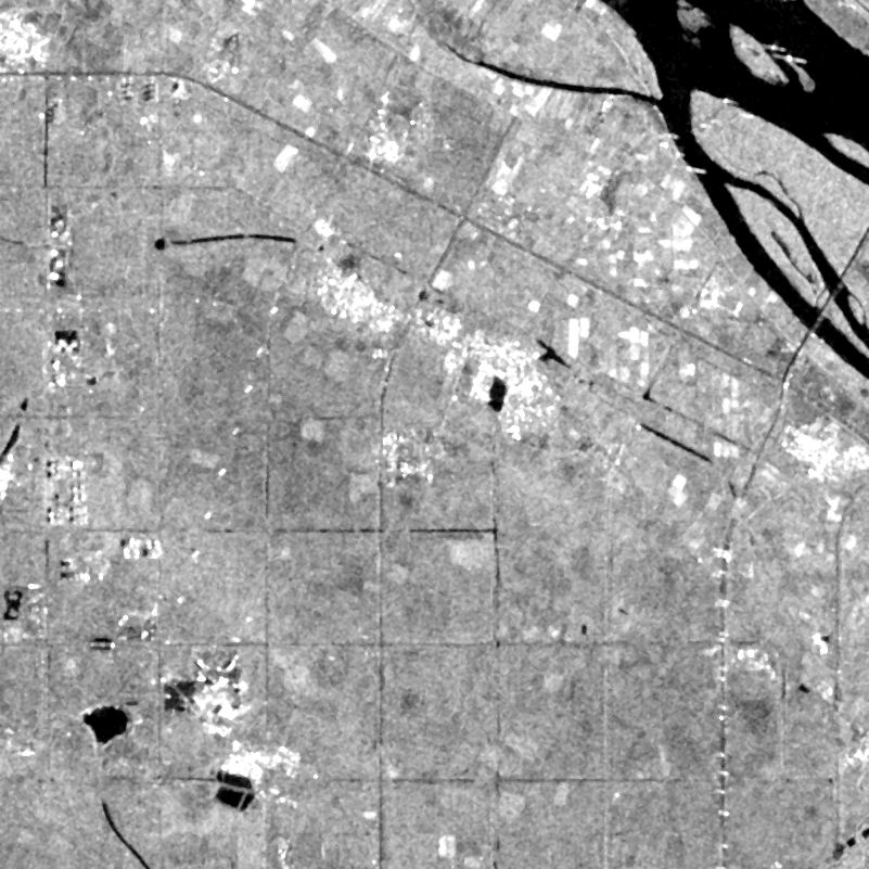
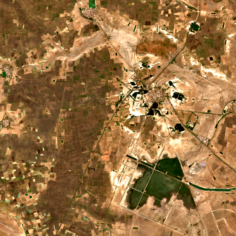
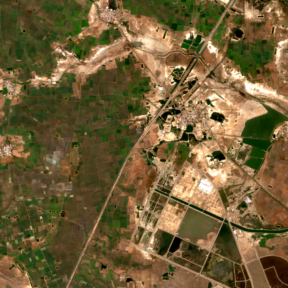
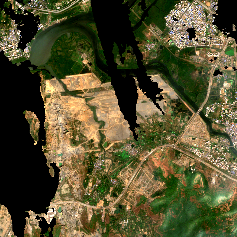
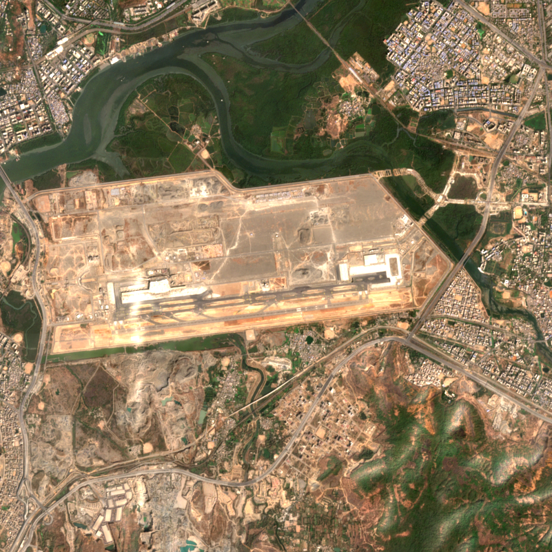
Every place here was scanned by SCOPE on open Copernicus satellite imagery. Real before and after pictures, real measurements, and how confident the system was. No account needed — and you can scan anywhere on Earth yourself, free.
Argentina (1)Australia (1)Brazil (2)Cambodia (1)Chile (1)China (4)Egypt (2)Ethiopia (2)France (2)Germany (2)Greece (1)India (6)Indonesia (2)Iran (1)Kenya (1)Libya (1)Morocco (1)Nigeria (2)Pakistan (1)Peru (1)Poland (1)Saudi Arabia (1)Tajikistan (1)Turkey (1)United Arab Emirates (1)United States (3)Uzbekistan (1)