What changed on Earth
Every place here was scanned by SCOPE on open Copernicus satellite imagery. Real before and after pictures, real measurements, and how confident the system was. No account needed — and you can scan anywhere on Earth yourself, free.
Argentina (1)Australia (1)Brazil (2)Cambodia (1)Chile (1)China (4)Egypt (2)Ethiopia (2)France (2)Germany (2)Greece (1)India (6)Indonesia (2)Iran (1)Kenya (1)Libya (1)Morocco (1)Nigeria (2)Pakistan (1)Peru (1)Poland (1)Saudi Arabia (1)Tajikistan (1)Turkey (1)United Arab Emirates (1)United States (3)Uzbekistan (1)
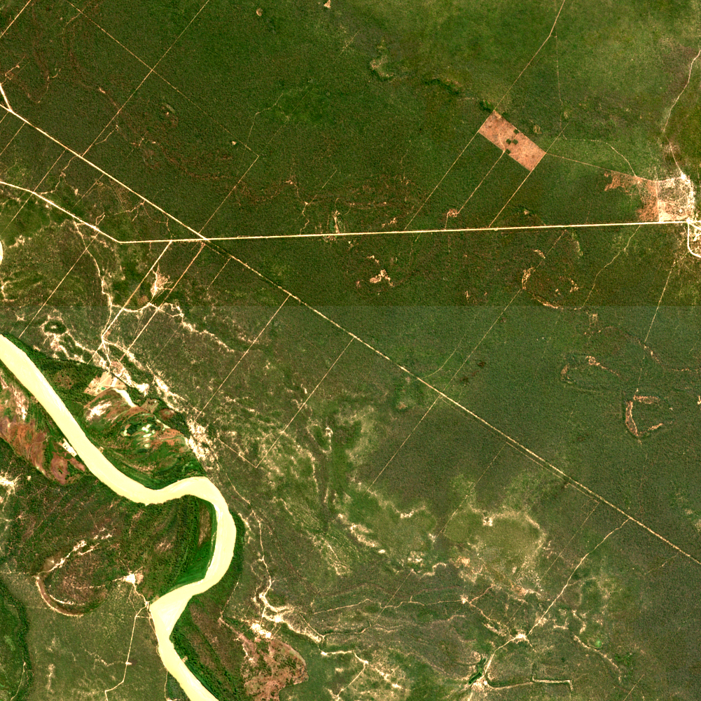
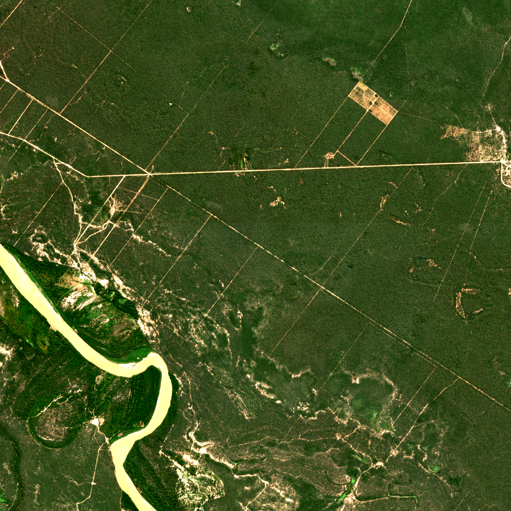
Argentina
Gran Chaco clearing
240 ha changed · new vegetation
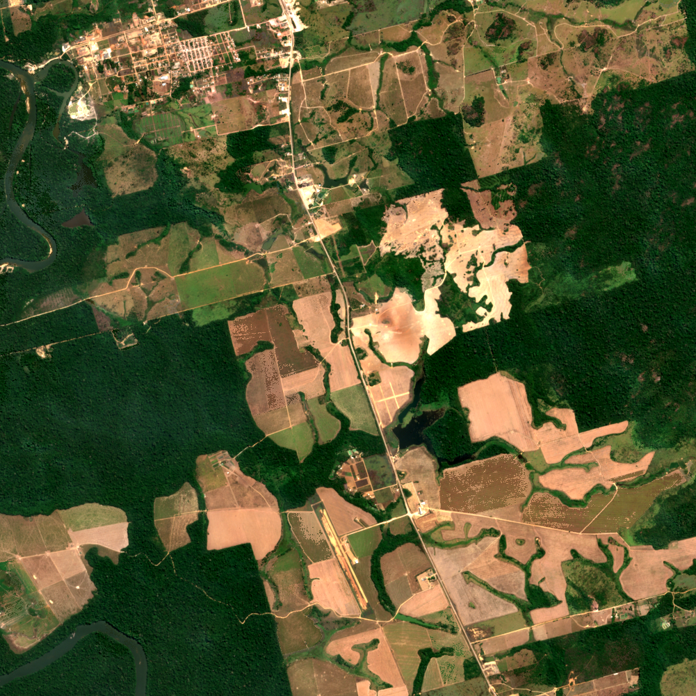
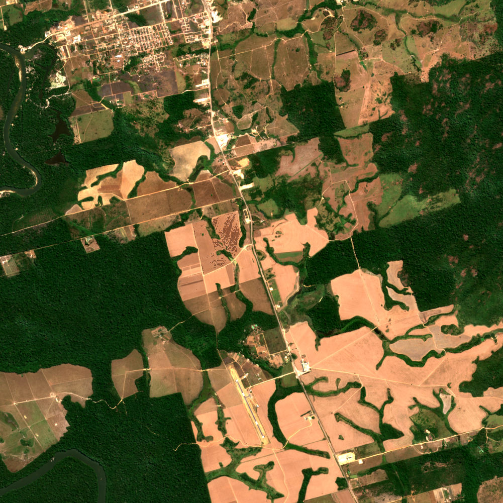
Brazil
Novo Progresso, Pará
1,114 ha changed · vegetation cleared
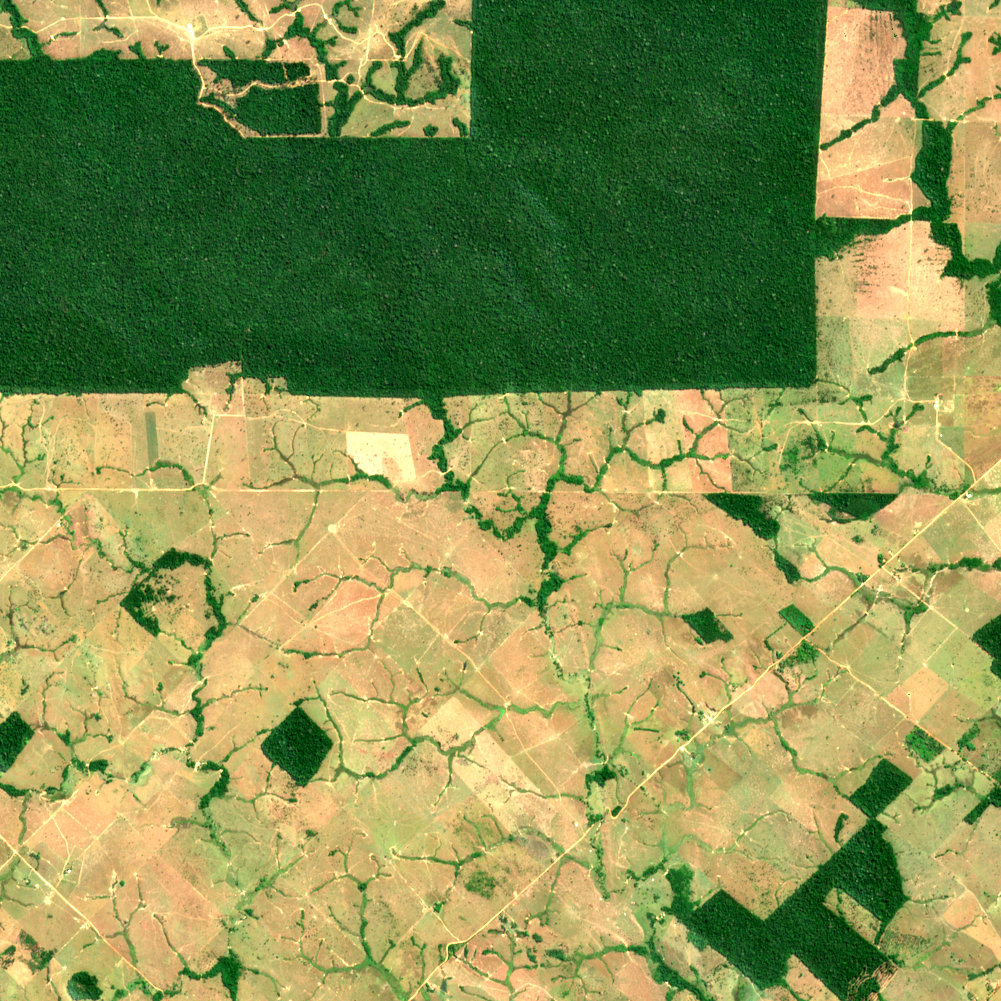
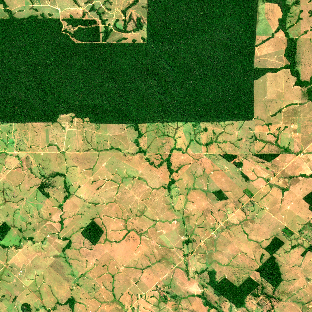
Brazil
Rondônia deforestation front
556 ha changed · new vegetation
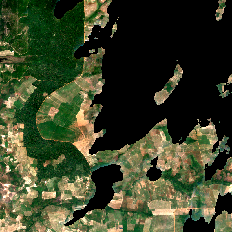
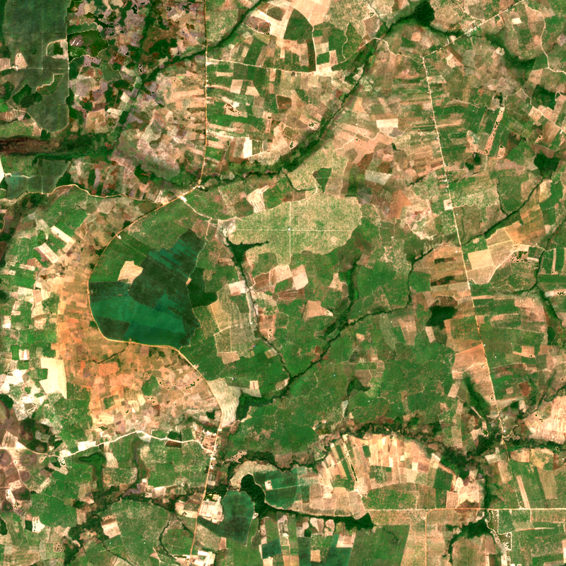
Cambodia
Prey Lang, Kampong Thom
1,852 ha changed · vegetation cleared
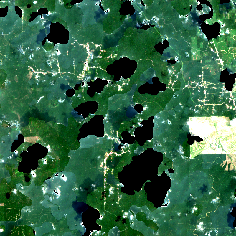
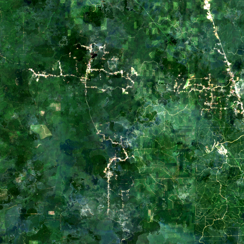
Indonesia
Riau oil palm frontier
493 ha changed · new vegetation
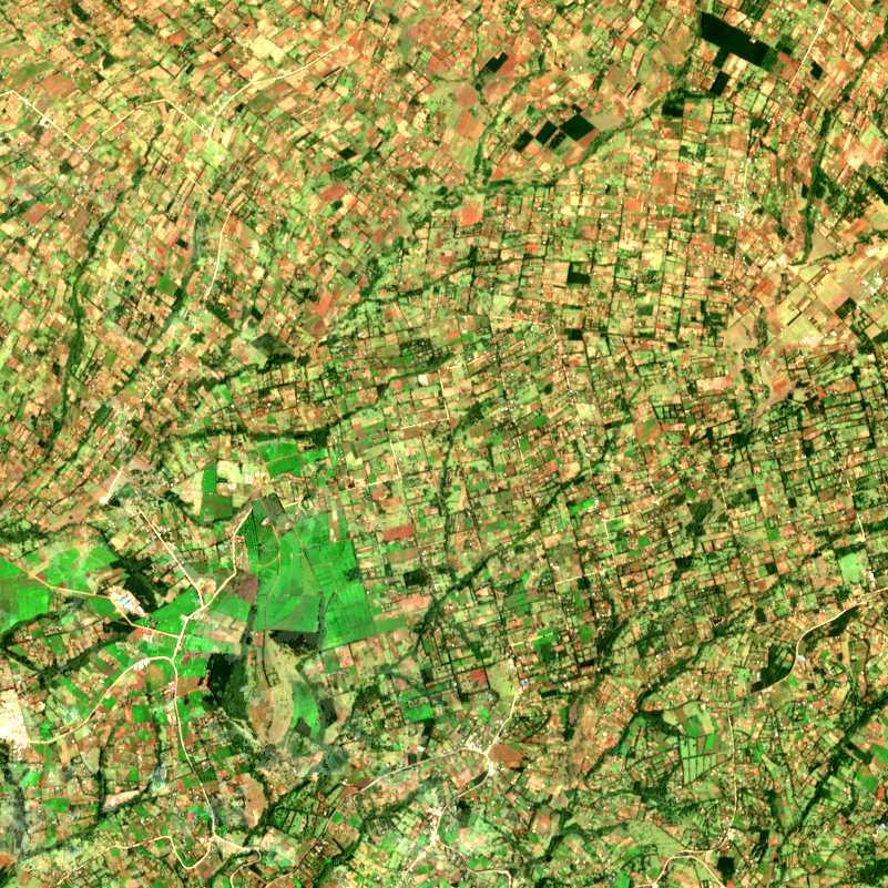
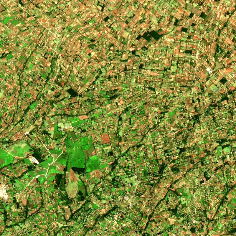
Kenya
Mau Forest
789 ha changed · new vegetation
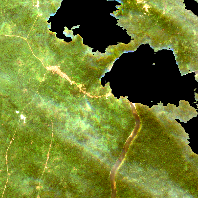
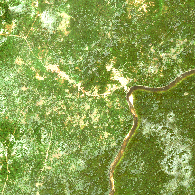
Nigeria
Cross River rainforest
8 ha changed · vegetation cleared
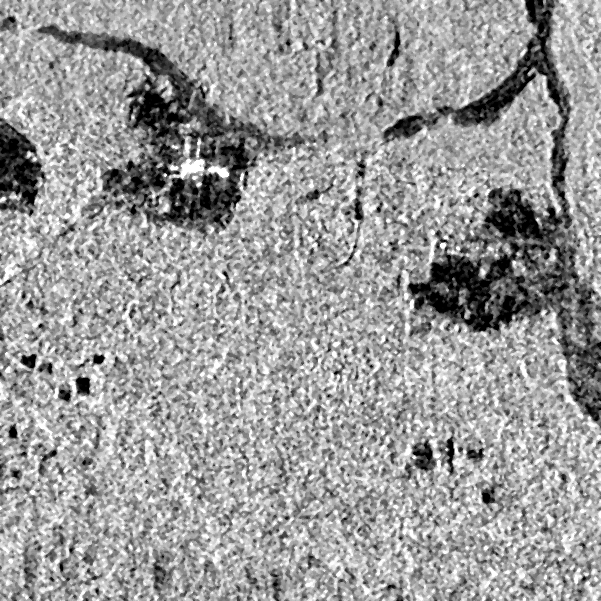
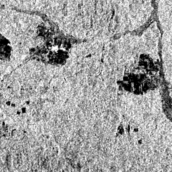
Poland
Bialowieza Forest edge
1 ha changed · new water / flooding