Atlas › United States › Water change
Lake Mead, Nevada
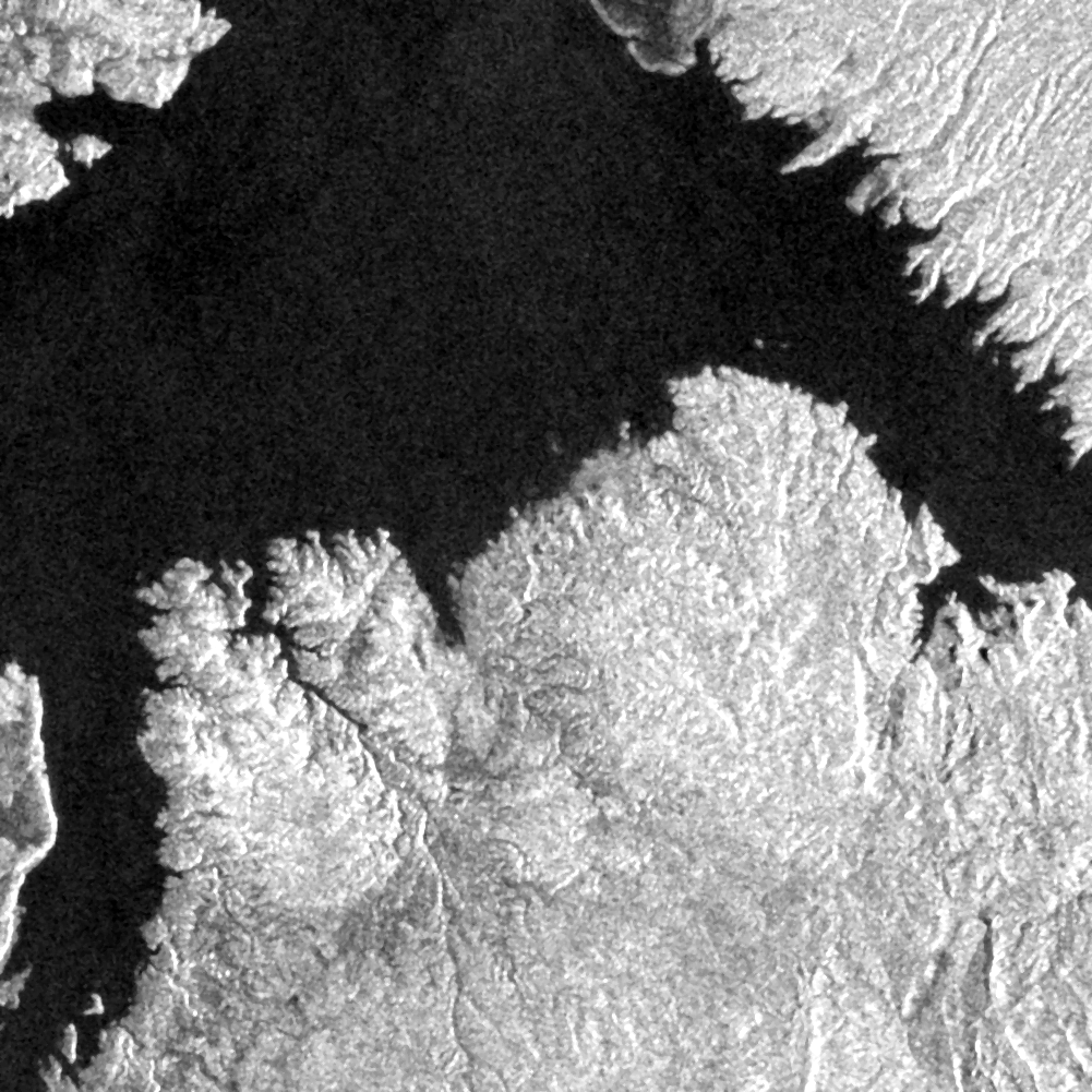
The bathtub ring of the Colorado river's largest reservoir.
438.5 hectares changed — water gone · Before: 1 Apr 2017 – 15 Jul 2017 · After: 1 Apr 2022 – 15 Jul 2022 · 36.120, -114.400
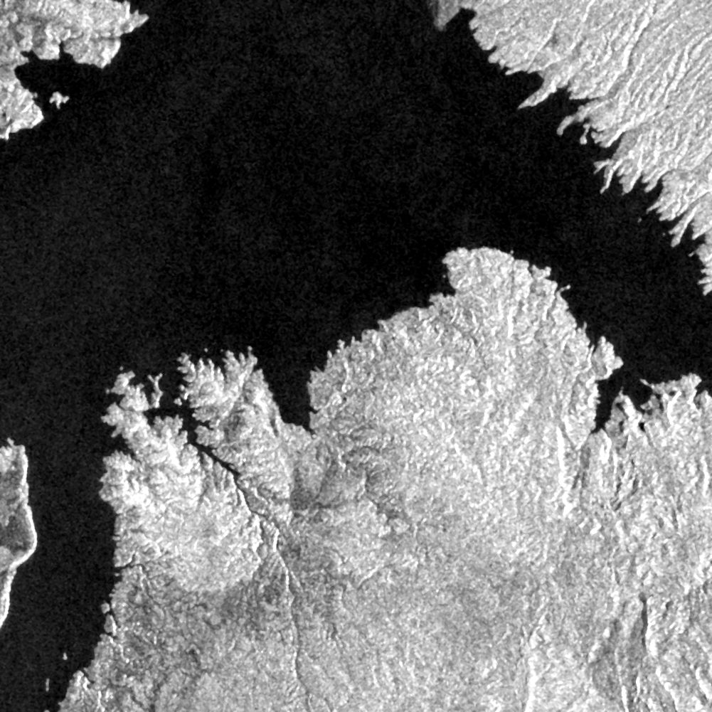
BEFORE 2017-07
AFTER 2022-07
Drag to compare
438.5 haarea changed
28areas flagged
10,020 haarea examined
2satellites used
What SCOPE found
Water disappeared — 105.8 ha
0.5 km north-east · 86% sure
0.5 km north-east · 86% sure
Water disappeared — 64.8 ha
4.5 km north-east · 86% sure
4.5 km north-east · 86% sure
Water disappeared — 64.3 ha
4.6 km north-east · 86% sure
4.6 km north-east · 86% sure
Water disappeared — 61.8 ha
3.9 km south-west · 86% sure
3.9 km south-west · 86% sure
Water disappeared — 24.4 ha
5.8 km north-west · 86% sure
5.8 km north-west · 86% sure
How sure is this?
The strongest area (#1) has 86% confidence. It appears in 6 of 6 later clear images, so it is not a one-day artefact. Radar could not confirm or rule them out (normal for vegetation changes), so the result rests on repeated clear optical views and the seasonal comparison. Only 0% of the area had clear optical views, so some change may be hidden by cloud. Note: Optical imagery was unusable (cloud); results rely on Sentinel-1 radar only. Confidence measures how strong the evidence for real surface change is; it does not identify the cause or who did it.
How it was measured
SCOPE used Sentinel-2 optical imagery at 10 m, cloud-masked and combined over each
period, Sentinel-1 radar as an independent check
.
The analysis took 6 seconds.
Now try it on a place you know
If SCOPE is right about somewhere you know well, you can trust it somewhere you do not. 5 scans a day, free, no card.
Scan your own place